Another winter storm is expected to bring more snow to the Midwest, further affecting holiday travel that was already disrupted by weather in the region. The storm is then forecast to head for the Northeast, bringing a mix of snow and ice early this week.
The storm will span nearly two dozen states, from Kansas to Maine. As of Monday, over 75 million people in the U.S. are under some form of active winter weather alert, according to the National Weather Service.
Here’s what to expect in each region as the winter storm takes shape, including total snow amounts.
Plains
On Monday, parts of the Plains are under winter weather advisories, issued by the NWS, which are in effect through this evening. The region is forecast to receive between 2 and 4 inches of snow north of Interstate 35 and between 1 and 2 inches south of Interstate 35, with parts of Oklahoma and Arkansas expected to receive light sleet or freezing rain. Slippery road conditions could impact the evening commute.
Midwest
The Midwest is forecast to see snow from this winter storm on Monday or Monday night, according to the Weather Channel. Winter weather advisories issued by the NWS are also in effect in parts of the region. Most areas are expected to receive light to moderate snowfall, with accumulations of 1 to 3 inches. Some areas may see more snow than others. The Monday evening and Tuesday morning commutes could be affected by slippery travel conditions.
Northeast
A winter storm watch is in effect for parts of Pennsylvania, New York, Massachusetts, Vermont, New Hampshire and Maine, meaning heavier snowfall is possible in these areas.
"The rain vs. snow line is expected to come close to the Interstate 95 corridor between Monday night and Tuesday,” said AccuWeather meteorologist Brandon Buckingham. “A slight shift in the storm track farther offshore could help to pull in cold enough air for snow to occur in places like Philadelphia, New York City and Boston.”
The heaviest snow amounts of 6 inches or more are possible on Tuesday from the Hudson Valley north of New York City into New England. Parts of Massachusetts, southern New Hampshire and southern Maine could experience localized snowfall totals of up to a foot, according to meteorologists.
"Just on the other side of the rain/snow line, where the colder air is more dominant, a zone of 3-6 inches of snow is possible across eastern Pennsylvania, upstate New York and across portions of New England," Buckingham added.
Travel will be challenging on Tuesday and Tuesday night, with snow-covered roads expected to affect the morning commute on Wednesday.
LATEST POSTS
- 1
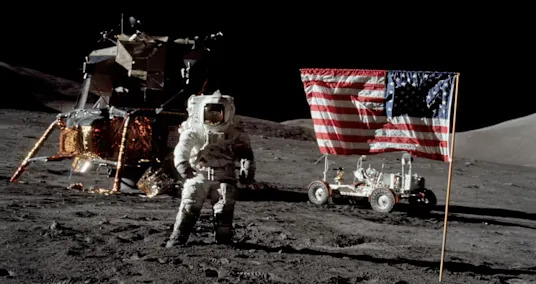
 Artemis 2 astronauts are now headed to the moon. Why has it taken humanity so long to go back?
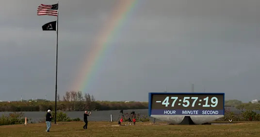
 - 2NASA counts down for first crewed lunar mission in half a century
- 3Dental Embed Developments: Upsetting Current Dentistry
- 415 Outrageous Cosplay Outfits That Will Blow You Away
- 5Manual for Wonderful Getaway destination


- 2025 among world's three hottest years on record, WMO says
- Dancing through the crackdown: The satirical song soundtracking post-Khamenei Iran
- Cyber Monday 2025 streaming deal: Get $42 off six months of Apple TV
- Jason Kelce opens about wife Kylie Kelce's past pregnancy loss
- Mating injuries may lead scientists to identify dinosaurs’ sex
- The Response to Fake General Knowledge: Investigating the Eventual fate of artificial intelligence
- Pilot captures jaw-dropping northern lights show from 36,000 feet (photos)
- Countdown begins for long-awaited Artemis II moon mission
- 4 Jeep Models: Dominating Execution and Flexibility for Each Experience